Projects
Map
Photos
Donegal
County Donegal.
Properties
Map
Photos
«
…
3
4
5
6
7
8
9
10
11
…
»
More filters
Type
---------
Student accommodation
Office
Hospital
Hotel
Residential
Education
Bar
Restaurant
Mixed use
Attraction
Bridge
Retail
Leisure
Multistorey car park
Road
Carpark
Public square
Public park
Historical Building
Transport
Industrial
Church
Film Studios
Marina
Concert Venue
Hostel
Police Station
Stadium
Train station
Airport
Derelict building
Lane
Cinema
Cafe
Nightclub
Fire Station
Sort by
Recently updated
Tallest (Completed)
Tallest (Proposed)
A-Z
Park
Ormeau Park
Bar
The John Hewitt
Carpark
Hill Street / Talbot Street
Residential
City Quays 4
Church
Former Holy Rosary Church
Hotel
Parador Lodge
Bar
Northern Lights
Student accom.
78-86 Dublin Road
Mixed use
The Keep
Train station
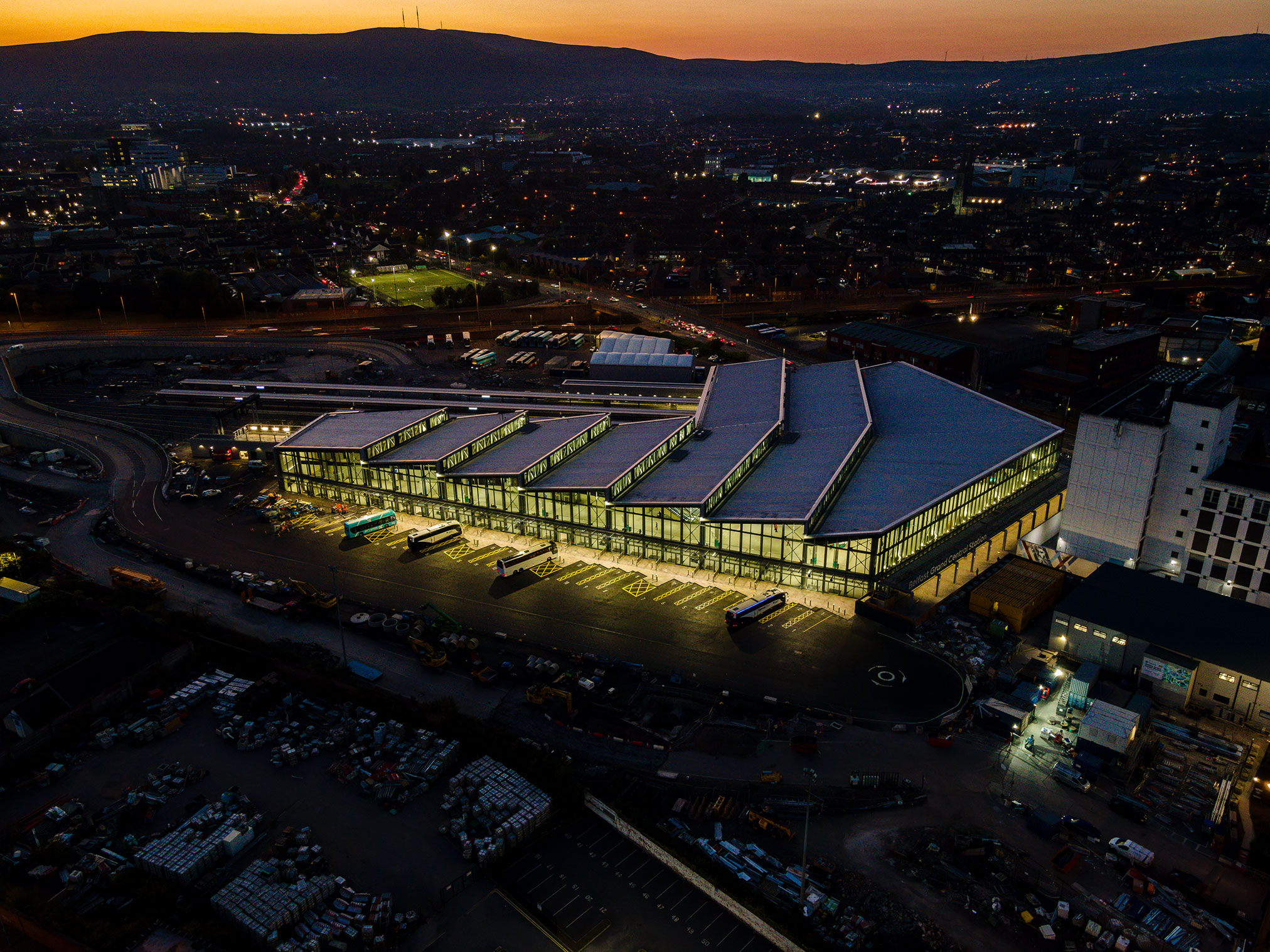
Great Victoria Street railway station
Hospital
New Children’s Hospital
Historical
Bank of Ireland Building
«
…
3
4
5
6
7
8
9
10
11
…
»